Reserved sections
Jindallaebat ↔ Baengnokdam on Seongpanak, and Samgakbong ↔ Baengnokdam on Gwaneumsa.

JEJU · 1,947 M
From hotel door to trailhead, summit and the bus home.


The Samgakbong Shelter–Baengnokdam section is scheduled to remain closed for rockfall-protection work through 30 September 2026. For a summit visit during this period, use Seongpanak and return by Seongpanak. Recheck on the day because closures can change.
RESERVATION — WHAT IT REALLY MEANS
The lower trail is not the same as the controlled summit section.
Jindallaebat ↔ Baengnokdam on Seongpanak, and Samgakbong ↔ Baengnokdam on Gwaneumsa.
From 09:00 on the first business day of the previous month. One person may book for up to four hikers.
Carry one QR code per person and matching identification. Save both offline before leaving the hotel.
Official operating rules: Hallasan reservation notice ↗
FIRST-TIMER ANSWER
Do not begin with all five routes. Choose by the day you actually want.
One entrance, one bus stop, no transfer between trailheads. It is long but the least confusing summit plan.
Allow the full day · summit-section reservationFollow this day →Cliffs, pine forest and open highland without committing to Baengnokdam.
Remember the extra 40-minute access walkFollow this day →The summit-to-Samgakbong section is closed through 30 September 2026. Do not plan this traverse until the park confirms reopening.
Use Seongpanak for both ascent and descent nowSee the entrances →TAP A NUMBER
Map numbers match the route cards below. Only 1 and 2 reach Baengnokdam.
CHOOSE BY GOAL
Tap a card to locate its entrance on the map.
 1SUMMIT · RESERVE
The gentler summit approach. Long, steady and best started early.
 2PARTIAL OPEN · NO SUMMIT TO 30 SEP
The lower route remains open to Samgakbong, but the section from there to Baengnokdam is temporarily closed.
 3SCENIC · NO SUMMIT
The strongest scenery-to-effort choice: cliffs, forest and open highland.
4EASY START · NO SUMMITA popular western approach through valley, forest and Manse Hill.
 5QUIET · NO SUMMIT
A quieter south-side forest route to the south-wall junction.
WHAT THE WALK LOOKS LIKE
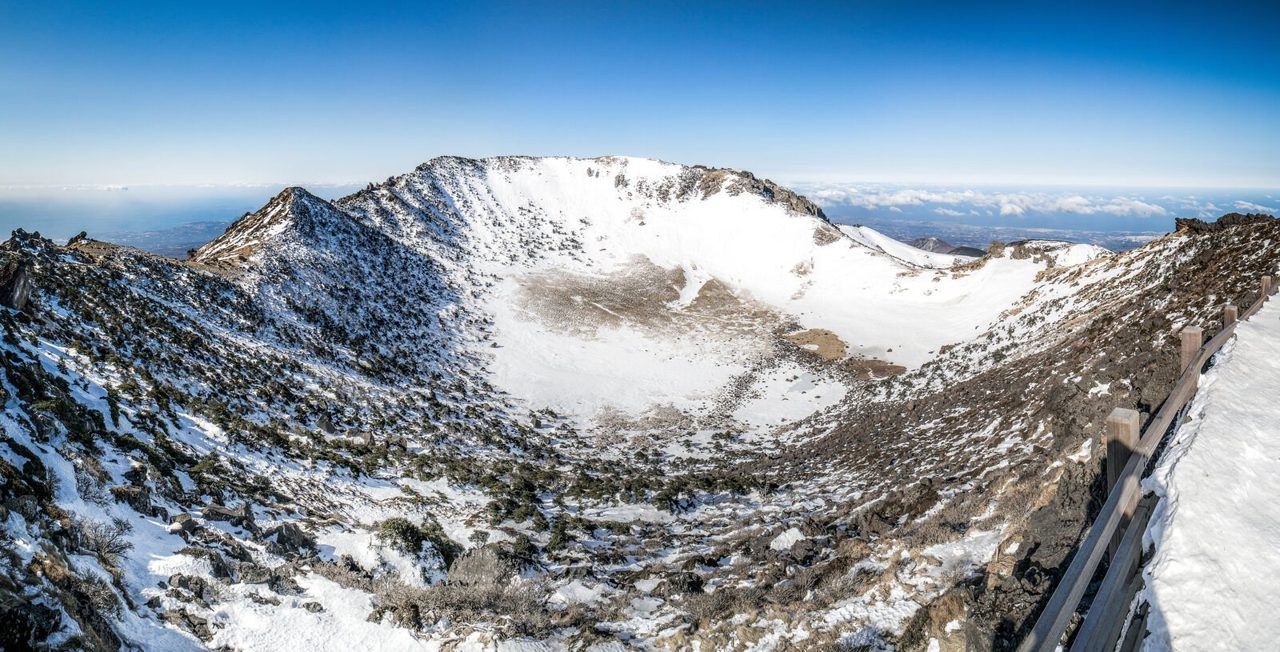
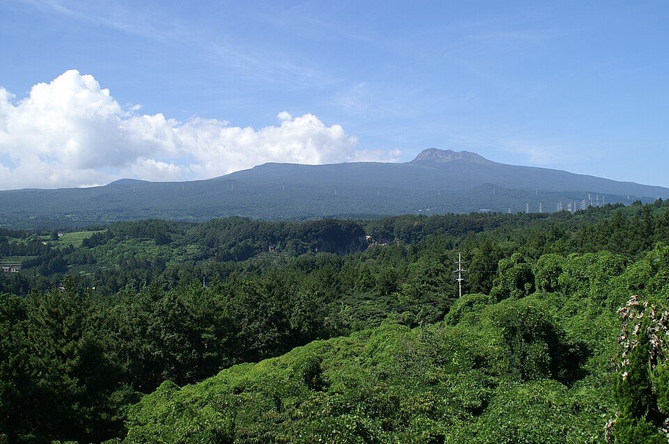
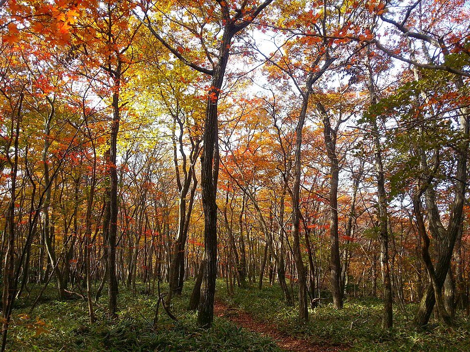
These are the four scenes worth recognising before you go: forest steps, the Yeongsil climb, the rugged north ridge and the cloud-wrapped summit.

EDITOR'S SELECTION · HIGH RESOLUTION
A richer professional edit: crater panoramas, real trail scenes, spring bloom, summer cloud, north-ridge drama, sunrise and fine winter detail. Every frame uses the same 3:2 display ratio with an individually set focal point.


We reviewed the official Hallasan National Park photo exhibition and database for visual direction. Its images require login, agreement to limited-use terms and notice to the copyright holder, so this page reproduces only files with a clearly documented CC or KOGL reuse licence.
 PLAN A
FIRST SOLO SUMMIT
Reserve the Jindallaebat–summit section. Save “성판악 탐방안내소”, your QR and identification. Pack water, lunch, snacks, rain layer and power bank; there is no shop on the trail.
From Jeju City, use bus 281/181 or a pre-booked taxi. The car park can fill very early, so public transport is the safer plan.
First trail toilet. Keep a steady pace; most of the 9.6 km ascent is still ahead.
Toilet, QR checkpoint and the final major decision point. If the official cut-off has passed, turn back—there is no alternative entrance to the summit.
Photograph the crater, eat briefly and identify the Seongpanak sign before descending. The summit descent cut-off also changes by season.
The same entrance keeps your bus, taxi and saved map simple. Do not add Sara Oreum if time, weather or legs are fading.
 PLAN B
BEST SHORTER DAY
Take bus 240 toward the 1100 Road and confirm “영실매표소” in the live Jeju bus system. Save the return departures before boarding.
The official guide says about 40 minutes from the ticket-office stop to the Yeongsil trail entrance. This road walk is additional to the hiking distance.
Yeongsil Rest Area sells simple food, water and some hiking items. Toilets are here; springs farther up may be dry.
Pass Yeongsil Valley, the steep Byeongpungbawi section and Seonjakjiwat highland. The staffed shelter has a toilet, but this route does not reach Baengnokdam.
Allow time for the 40-minute road walk and do not depend on the final bus. A taxi pickup must use the exact entrance name, not simply “Hallasan”.
FIELD MAP · FOLLOW THE ORDER
This schematic shows where the useful facilities and decisions are. It is not a GPS track.
9.6 km one way · official estimate about 5 hours up
40-minute access walk + 3.7 km trail
CHECK BEFORE YOUR HIKE
Confirm the entry, checkpoint and descent times for your exact trail and visit date. The official reservation guide currently displays conflicting seasonal tables; do not use a copied timetable to decide whether you can continue. Check the current park notice and ask the trail office before starting. Temporary weather controls override a reservation.
Official trail control information ↗ · Current reservations and notices ↗
IF THE DAY GOES WRONG
The safest decision is usually the simplest one.
Do not look for a bypass or unmarked route. Staff will not allow late hikers into the controlled section.
If the summit closes, use a shorter officially open trail or postpone. Weather restrictions can override a reservation.
Stay on the marked trail. At the summit, match the Korean descent name to your saved entrance before moving.
Give the nearest trail location-sign number. Park guidance also recommends extra clothing and emergency food.
GET TO THE RIGHT GATE
There is no single “Hallasan entrance.” Screenshot the row for your route and two possible return departures.
From Jeju City: bus 281 or 181, about 40 minutes from the intercity terminal; roughly 2 minutes on foot after the stop.
Toilets: gate · Sokbat · JindallaebatOpen map ↗From Jeju City: bus 281 to Jeju National University, then bus 475 toward the trail entrance. Currently open only as far as Samgakbong.
Temporary summit closure through 30 Sep 2026Open map ↗From Jeju City: bus 240, about 50 minutes to Yeongsil ticket office, then the official 40-minute uphill walk.
Shop + toilets: office · rest area · WitseoreumOpen map ↗From Jeju City: bus 240, about 35 minutes; then roughly 15 minutes on foot to the trail.
No shop; entrance vending machines onlyOpen map ↗From Seogwipo: connect toward buses 611/612, alight at Chunghonmyoji Plaza (충혼묘지광장), then walk about 1 km / 20 minutes.
No shop · carry extra waterOpen map ↗Route access, facility and official walking-time details: Hallasan National Park trail information ↗ · Always confirm the day’s bus schedule in Jeju Bus Information ↗.
BEFORE LEAVING THE HOTEL
A screenshot still works when reception does not.
BASE
AFTER THE HIKE
FOUR DIFFERENT MOUNTAINS

BEFORE YOU LEAVE
Check live trail status, entrance cut-off and weather on the official park page.
READY TO PLAN?
Click Biondi to chat. Drag the top bar to move this window. AI answers may need checking.
Where would you like to go?