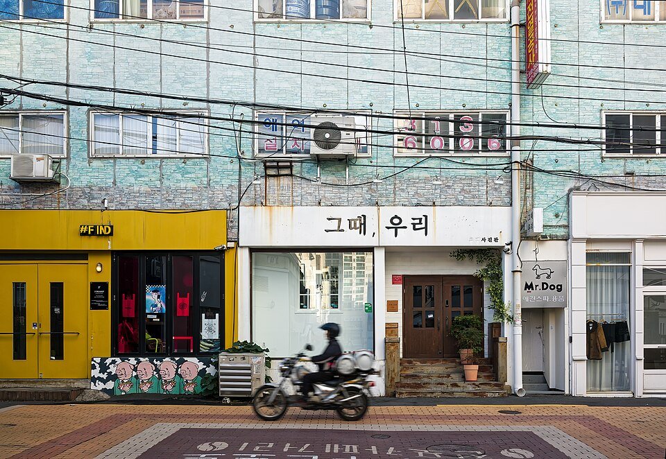
Seogwipo서귀포Seefooddiet · CC BY-SA 4.0 · Original photo & licence ↗
JEJU · INCHEON · BUSAN
Five more neighbourhoods to explore
Seogwipo, Jungmun, Songdo, Nampo-dong and Seomyeon: real photographs, sensible routes and practical alternatives when the weather changes.
Choose an area
Seogwipo서귀포Seefooddiet · CC BY-SA 4.0 · Original photo & licence ↗ Jungmun중문Giuseppe Milo · CC BY 2.0 · Original photo & licence ↗
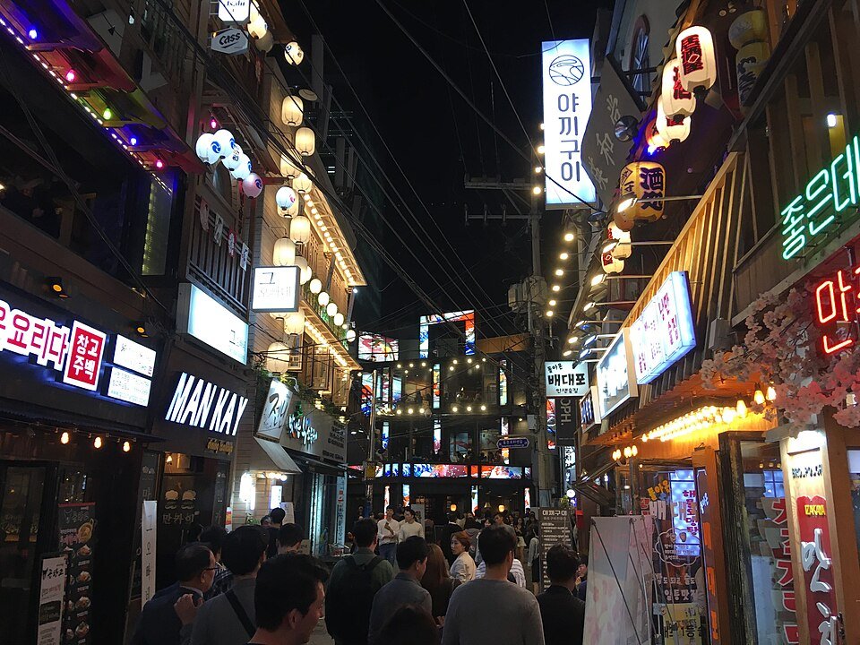
 Songdo송도Ken Eckert · CC BY-SA 4.0 · Original photo & licence ↗
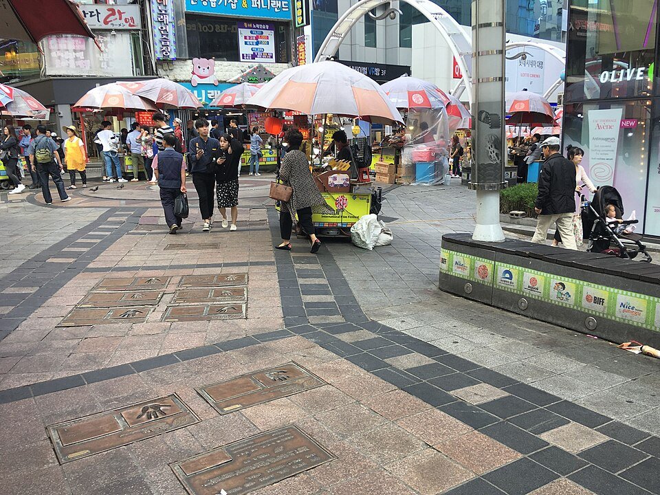 Nampo-dong남포동Christophe95 · CC BY-SA 4.0 · Original photo & licence ↗
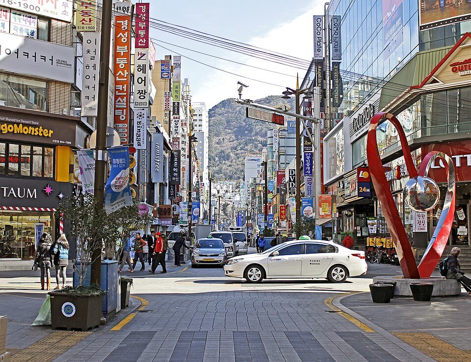 Seomyeon서면IMKSv · CC BY-SA 4.0 · Original photo & licence ↗
JEJU · SOUTH COAST
Seogwipo 서귀포
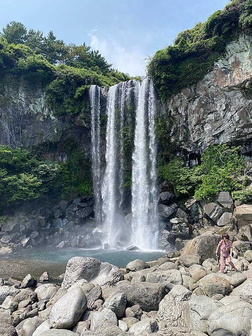
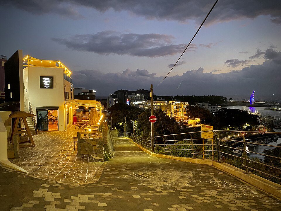
A city-centre market, an arts lane and a coastal waterfall. Jeongbang Falls has steps and uneven wet rock near the water; the market is the easier rainy-day stop.
Follow the route
Seogwipo Maeil Olle Market 서귀포 매일올레시장
Start with produce and snacks; confirm prices before you order.
NAVER Map · English ↗KakaoMap · English ↗Google Maps ↗Lee Jung-seop Culture Street 이중섭거리
Walk the small art and café street between the market and waterfront.
NAVER Map · English ↗KakaoMap · English ↗Google Maps ↗Jeongbang Falls 정방폭포
Continue to the coast. Check admission, closing time and slippery steps at the entrance.
NAVER Map · English ↗KakaoMap · English ↗Google Maps ↗
Photographs of the area
JEJU · RESORT COAST
Jungmun 중문
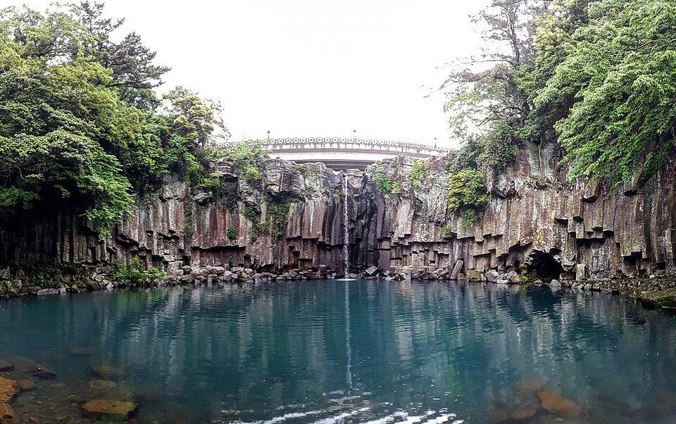
Waterfall, beach and volcanic cliffs are spread across the Jungmun area. Plan short transfers between stops; do not treat them as one continuous seaside footpath.
Follow the route
Cheonjeyeon Falls 천제연폭포
Start at the falls; check which sections and bridges are open.
NAVER Map · English ↗KakaoMap · English ↗Google Maps ↗Jungmun Saekdal Beach 중문색달해수욕장
Enjoy the view. Swimming and water sports depend on season, weather and lifeguard guidance.
NAVER Map · English ↗KakaoMap · English ↗Google Maps ↗Daepo Jusangjeolli Cliff 대포주상절리대
Take a bus or taxi to the cliff viewpoint; check ticketing and access before leaving the beach.
NAVER Map · English ↗KakaoMap · English ↗Google Maps ↗
Photographs of the area

INCHEON · WATERFRONT
Songdo 송도
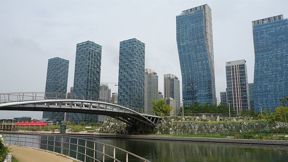
A relaxed park loop through Songdo’s lake, skyline and cultural landmarks. The cityscape photos show different views and dates, not live conditions.
Follow the route
Central Park Station 센트럴파크역
Use Incheon Subway Line 1. This is not Seoul Subway Line 1.
NAVER Map · English ↗KakaoMap · English ↗Google Maps ↗Songdo Central Park 송도센트럴파크
Follow the lake path; boat and water activities depend on operator and weather.
NAVER Map · English ↗KakaoMap · English ↗Google Maps ↗G-Tower or Tri-bowl G타워 트라이보울
Choose G-Tower if the observation area is open, or view Tri-bowl from outside; check event access separately.
NAVER Map · English ↗KakaoMap · English ↗Google Maps ↗
Photographs of the area

BUSAN · MARKETS
Nampo-dong 남포동
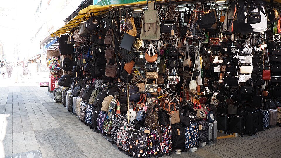
A compact street-food and market walk from the shopping lanes to the waterfront fish market. Compare prices and cooking charges before ordering seafood.
Follow the route
Nampo Station & Gukje Market 남포역 국제시장
Take Busan Subway Line 1 to Nampo and browse the market lanes.
NAVER Map · English ↗KakaoMap · English ↗Google Maps ↗BIFF Square BIFF 광장
Walk through the cinema plaza and compare snack stalls.
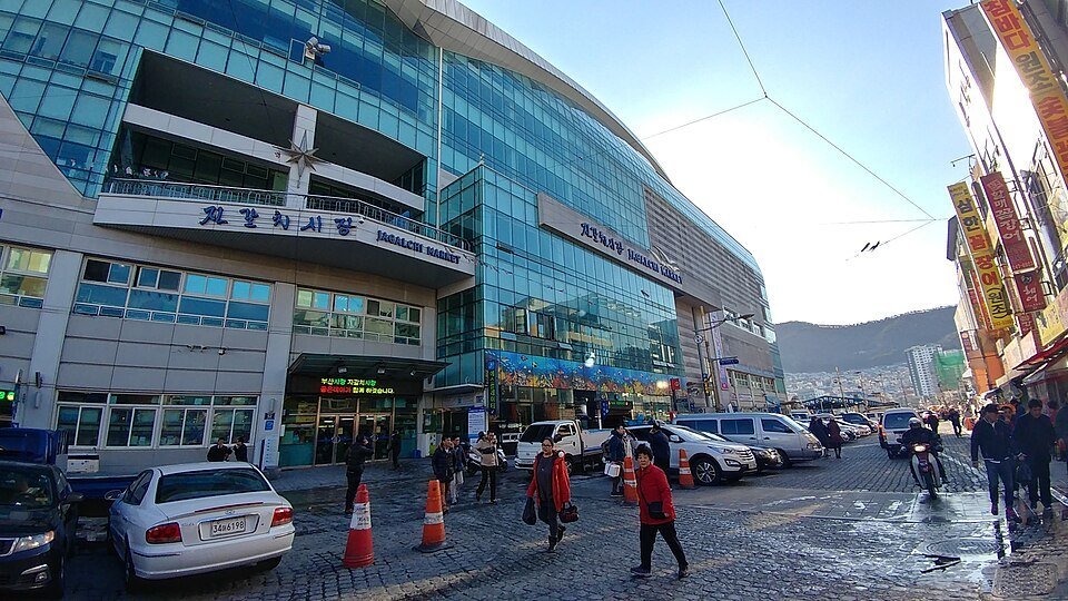
NAVER Map · English ↗KakaoMap · English ↗Google Maps ↗Jagalchi Market 자갈치시장
Finish at the seafood market; confirm total price, cooking charge and seating before paying.
NAVER Map · English ↗KakaoMap · English ↗Google Maps ↗
Photographs of the area
BUSAN · CITY LIFE
Seomyeon 서면
Busan’s busy shopping hub followed by smaller streets and cafés in Jeonpo. Pick a café that is open when you arrive rather than planning around one fixed venue.
Follow the route
Seomyeon Station 서면역
Transfer between Busan Subway Lines 1 and 2 here; save the station for your return.
NAVER Map · English ↗KakaoMap · English ↗Google Maps ↗Seomyeon shopping streets 서면 젊음의거리
Explore the shopping lanes and compare restaurant menus before entering.
NAVER Map · English ↗KakaoMap · English ↗Google Maps ↗Jeonpo café streets 전포카페거리
Continue to Jeonpo for a café break; return via Jeonpo Station on Line 2 if more convenient.
NAVER Map · English ↗KakaoMap · English ↗Google Maps ↗
Photographs of the area