SEOUL · CITY WALKS
Three Seoul neighbourhoods, three ways to explore
Pick a neighbourhood, follow a short route, and keep the Korean place names handy for maps and taxis. The photos show the actual areas; operating hours and transport should be checked on the day.
Choose a neighbourhood
SEOUL NEIGHBOURHOODS
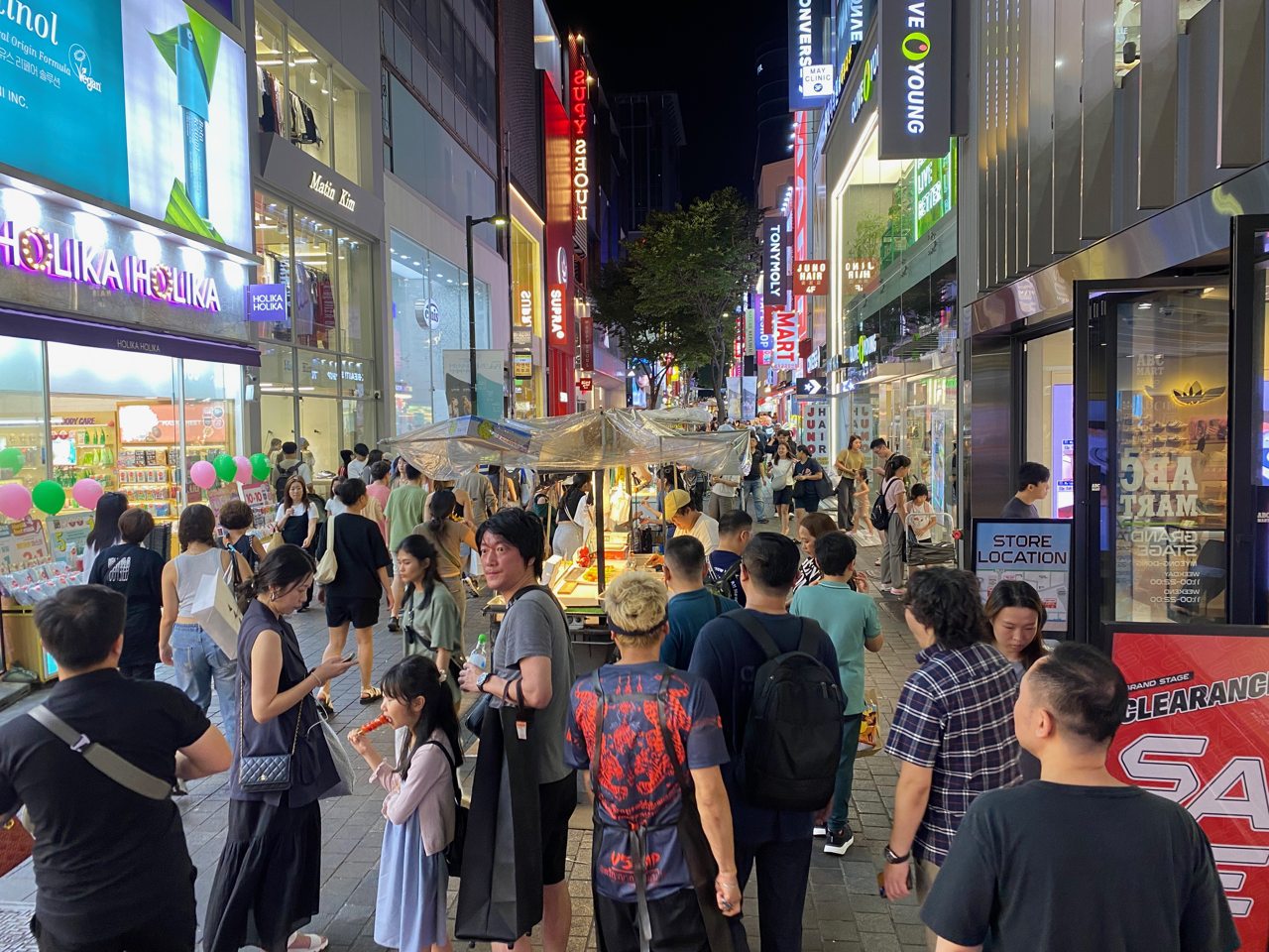
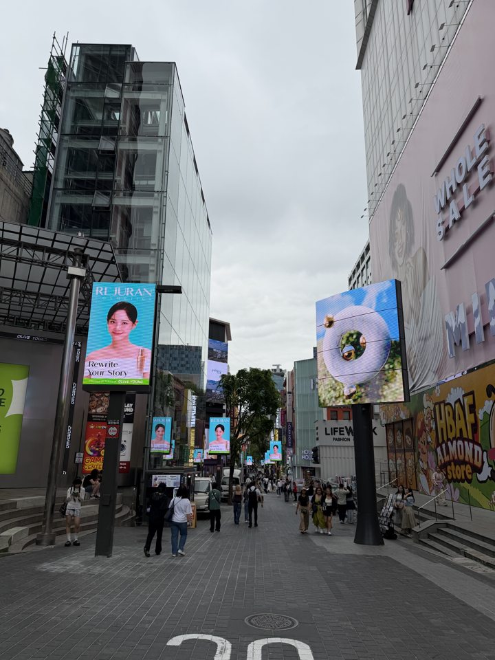
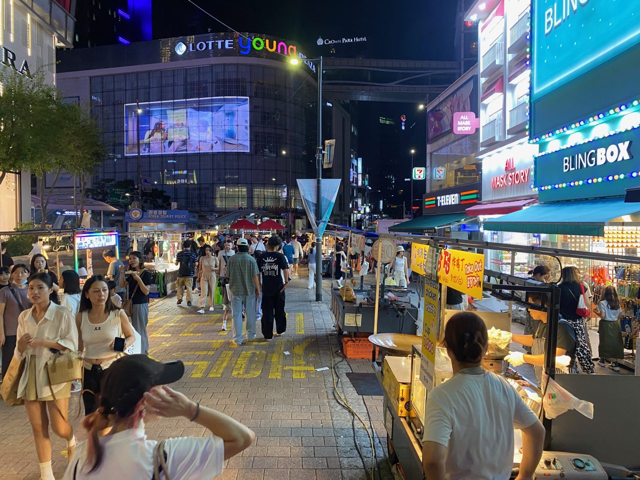
Myeongdong 명동
Start at Myeongdong Station, shop the pedestrian streets, step into the cathedral precinct, then decide on dinner. Street stalls and opening hours change by day.
Walk this route
Myeongdong Station 명동역
Use Line 4 as your starting point and save the station name for your return.
NAVER Map · English ↗KakaoMap · English ↗Google Maps ↗Shopping streets 명동거리
Compare prices and tax-refund terms before paying; stalls may accept different payment methods.
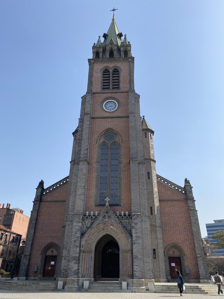
NAVER Map · English ↗KakaoMap · English ↗Google Maps ↗Myeongdong Cathedral 명동성당
Visit quietly and follow worship and photography notices.
NAVER Map · English ↗KakaoMap · English ↗Google Maps ↗Dinner near the station 명동역 맛집
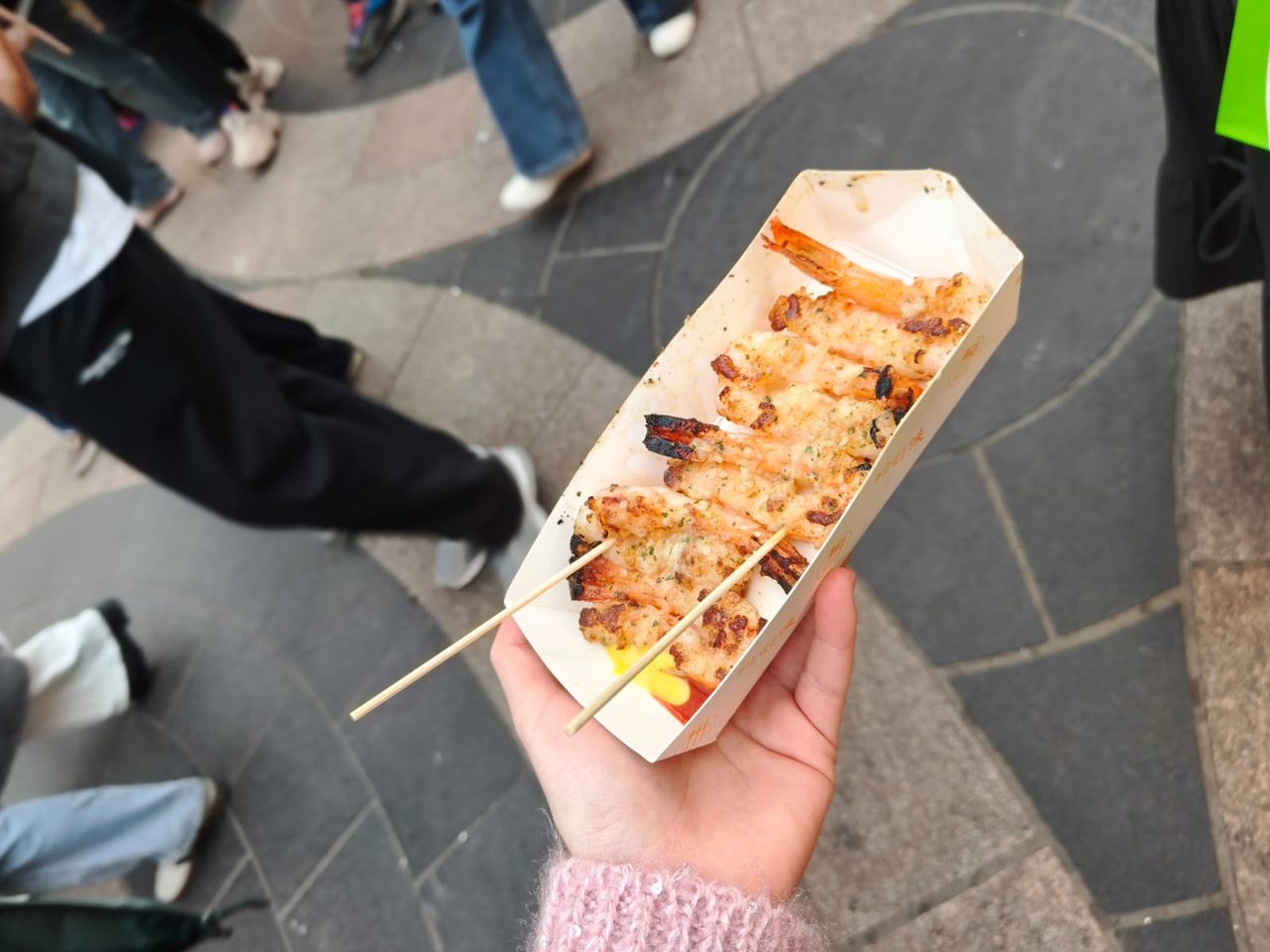
Try kalguksu, pork cutlet or street snacks, then return to the station. N Seoul Tower needs a separate transfer.
NAVER Map · English ↗KakaoMap · English ↗Google Maps ↗
More photographs of this area
SEOUL NEIGHBOURHOODS
Gangnam 강남
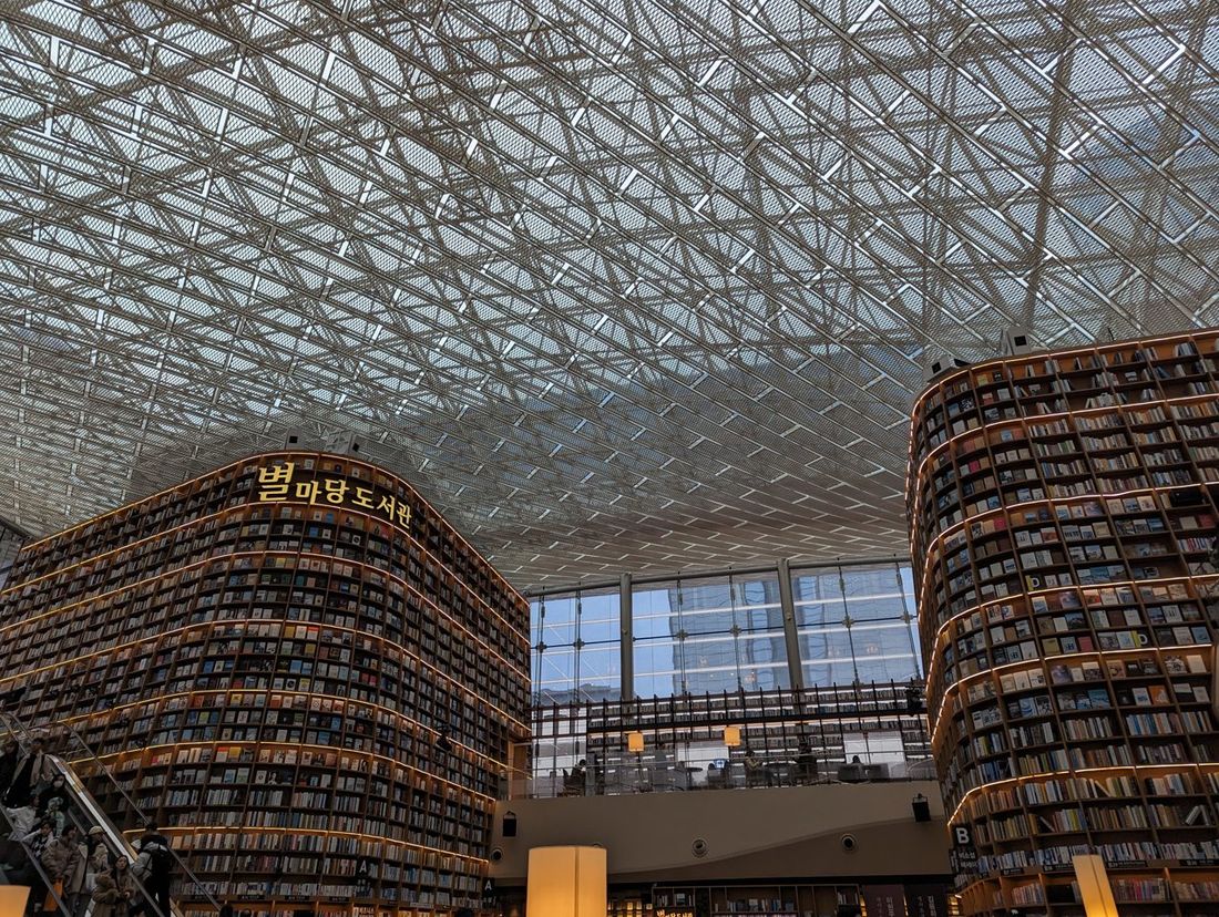
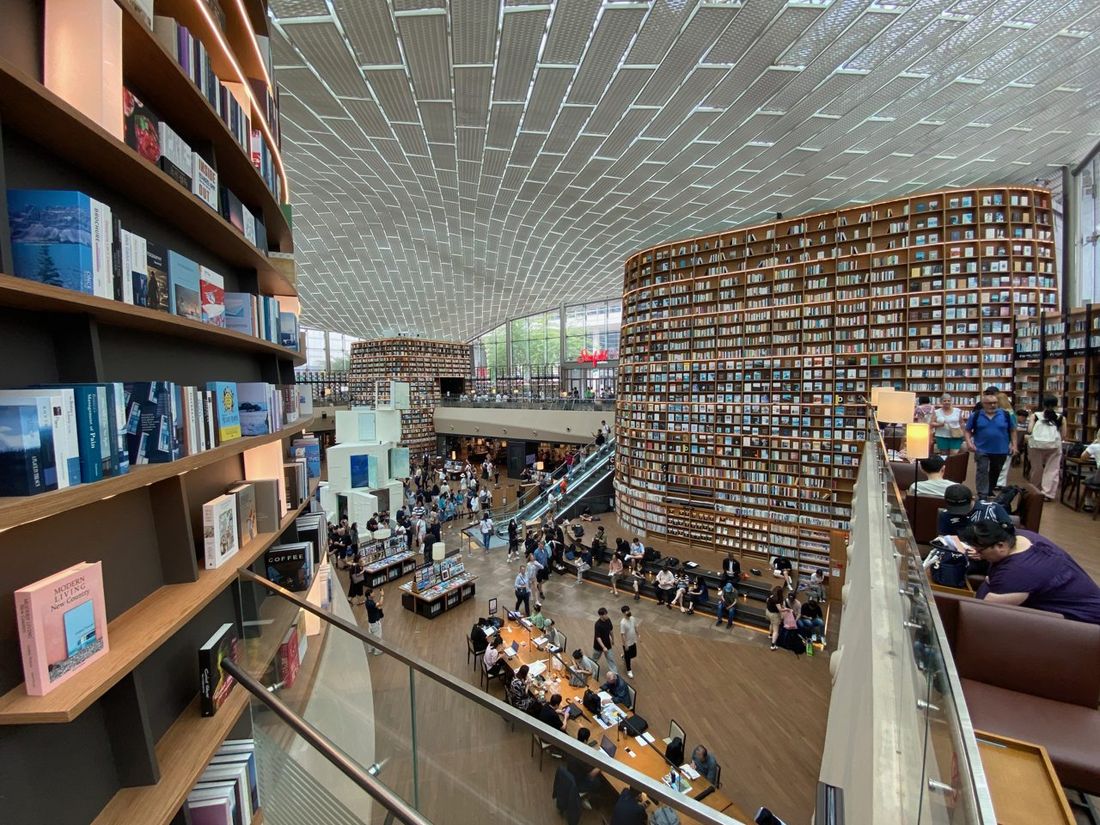
Choose one of two separate areas: Gangnam Station for shops and street life, or Samseong for COEX and Starfield Library. The photo of the library is from the Samseong route.
Walk this route
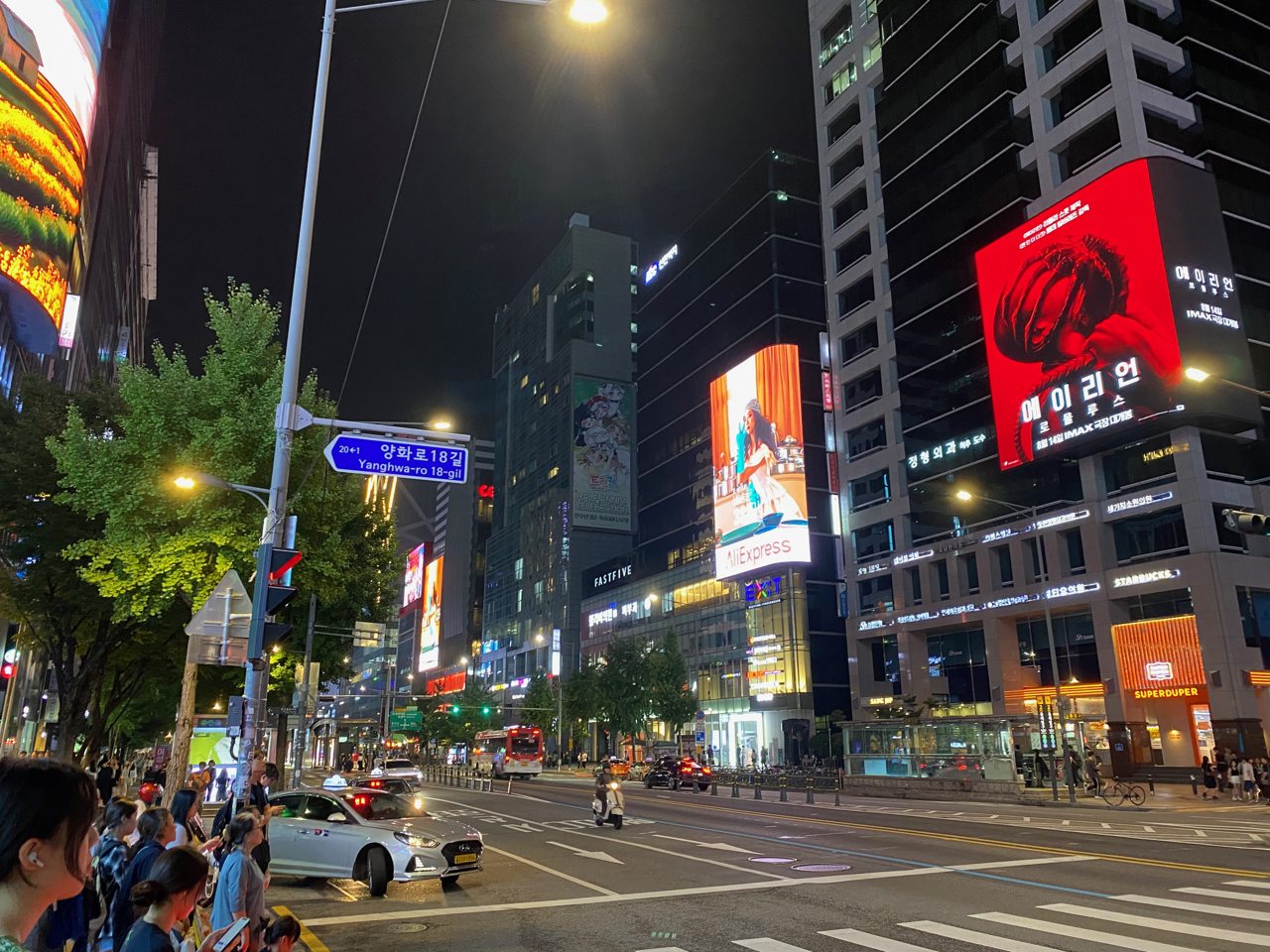
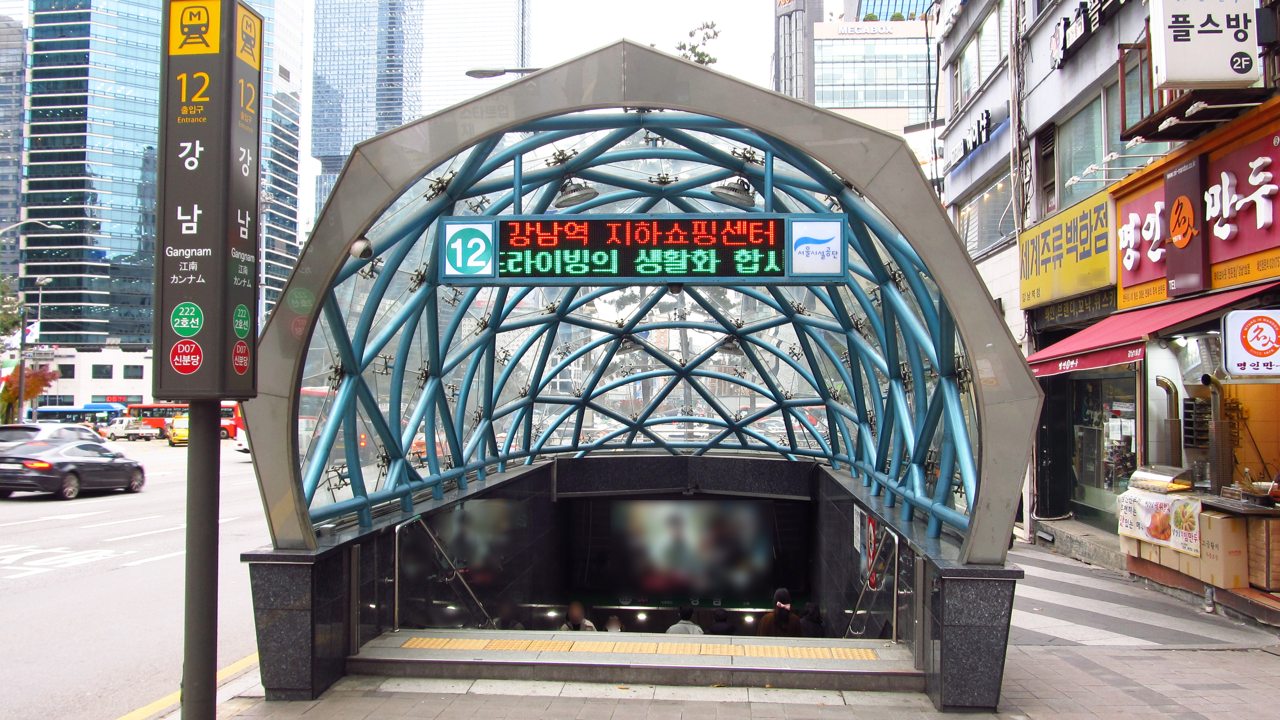
A · Gangnam Station 강남역
Set Gangnam Station as your start and return point.
NAVER Map · English ↗KakaoMap · English ↗Google Maps ↗A · Underground shopping 강남역 지하상가
Browse the indoor shops, then check which restaurants are open now.
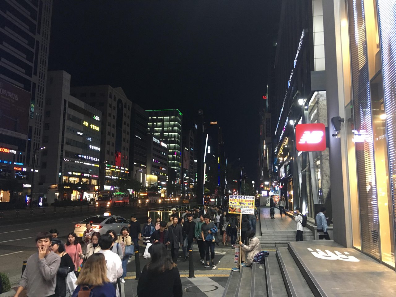
NAVER Map · English ↗KakaoMap · English ↗Google Maps ↗A · Gangnam-daero 강남대로
Walk the surface boulevard; in heavy rain, end the trip after the underground shops.
NAVER Map · English ↗KakaoMap · English ↗Google Maps ↗B · Samseong Station 삼성역
Begin at Samseong Station for COEX; Bongeunsa Station is another entrance.
NAVER Map · English ↗KakaoMap · English ↗Google Maps ↗B · Starfield Library 별마당도서관
See the library in COEX and choose lunch indoors.
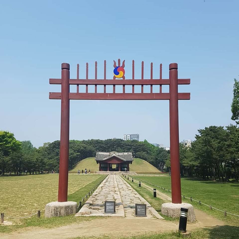
NAVER Map · English ↗KakaoMap · English ↗Google Maps ↗B · Bongeunsa Temple 봉은사
Optional if time permits; respect temple hours and event notices.
NAVER Map · English ↗KakaoMap · English ↗Google Maps ↗
More photographs of this area
SEOUL NEIGHBOURHOODS
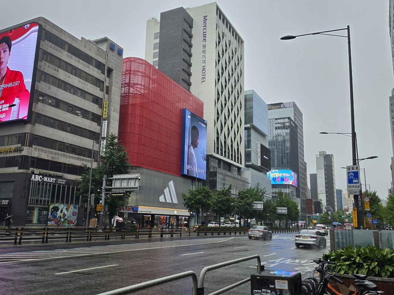
Hongdae 홍대
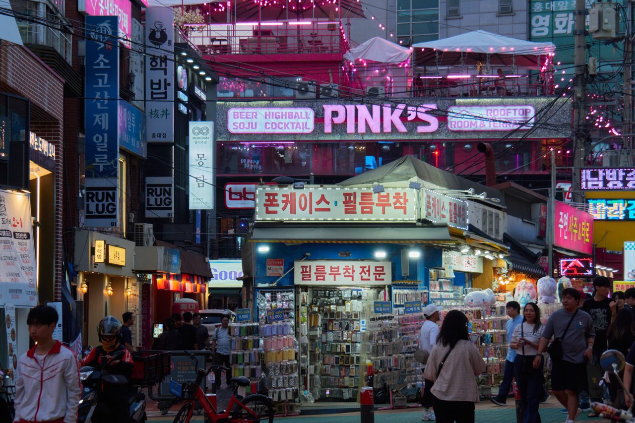
Explore Hongdae’s main walking streets, choose dinner, and continue toward Yeonnam-dong and Gyeongui Line Forest Park. Busking is optional and depends on the day.
Walk this route
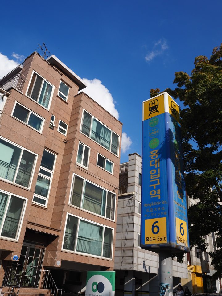
Hongik University Station 홍대입구역
Check whether you need Line 2, AREX or Gyeongui–Jungang for your return.
NAVER Map · English ↗KakaoMap · English ↗Google Maps ↗Hongdae walking streets 홍대 걷고싶은거리
Explore shops and side lanes. Busking cannot be guaranteed.
NAVER Map · English ↗KakaoMap · English ↗Google Maps ↗Dinner in Hongdae 홍대 음식점
Choose Korean food, chicken or a café; if one street is crowded, check the next lane.
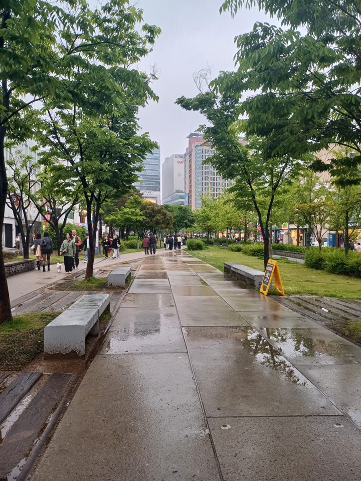
NAVER Map · English ↗KakaoMap · English ↗Google Maps ↗Gyeongui Line Forest Park 경의선숲길
Walk toward Yeonnam-dong, then return to the station. Skip this outdoor stop in rain.
NAVER Map · English ↗KakaoMap · English ↗Google Maps ↗
More photographs of this area