Busan · 800.8 M
Geumjeongsan
Plan a mountain visit around Busan, with the named starting point, route reference, travel from Seoul and seasonal guidance below.
Starting point
Geumgang Park
 View larger ↗
Information review date: not yet recorded.
THE MOUNTAIN IN PHOTOGRAPHS
Geumjeongsan photo gallery
1 photographs. Click a thumbnail to open the larger photo in a new tab, or choose a season below.
1 photographs
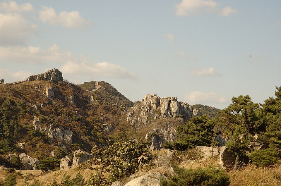
View larger ↗Geumjeongsan ridge
Photo details & credits
Rocky ridges and autumn vegetation on Geumjeongsan in Busan.
Photographed 2008-10-27 · Honza Soukup · CC BY 2.0 · Source · Licence
Mountain location ↗There are no photographs in this selection yet. Choose All photos to see the available mountain views.
The date and caption describe the photograph, not current trail conditions. Photos without a confirmed season appear under All photos.
Spring on Geumjeongsan
High trails can retain ice after lower slopes warm up. Check thawing conditions and any seasonal fire-prevention closures. Flowering dates vary by elevation and year.
Summer on Geumjeongsan
Plan for heat, humidity and sudden heavy rain. Avoid exposed ridges during thunderstorms and do not enter flooded valley crossings. Carry enough drinking water.
Autumn on Geumjeongsan
Daylight becomes shorter and ridge temperatures can fall quickly. Check current foliage and access information, bring a warm layer and plan your descent early.
Winter on Geumjeongsan
Snow and ice can make a familiar route much harder. Choose an open route suited to your winter experience and equipment. Check the park’s weather restrictions before travelling.
Confirm current access
The underlying dataset is a planning reference, not a live trail-status feed. Operating details must be checked with the park or local authority.
READY TO PLAN?