ISLAND 05 OF 33 · INCHEON & THE NORTHWEST
선재도
Seonjaedo
The coast changes with the tide
Seonjaedo lies on the road between Daebudo and Yeongheungdo. Tidal scenery is part of the attraction, and the changing shoreline gives even a short stop a different character through the day.
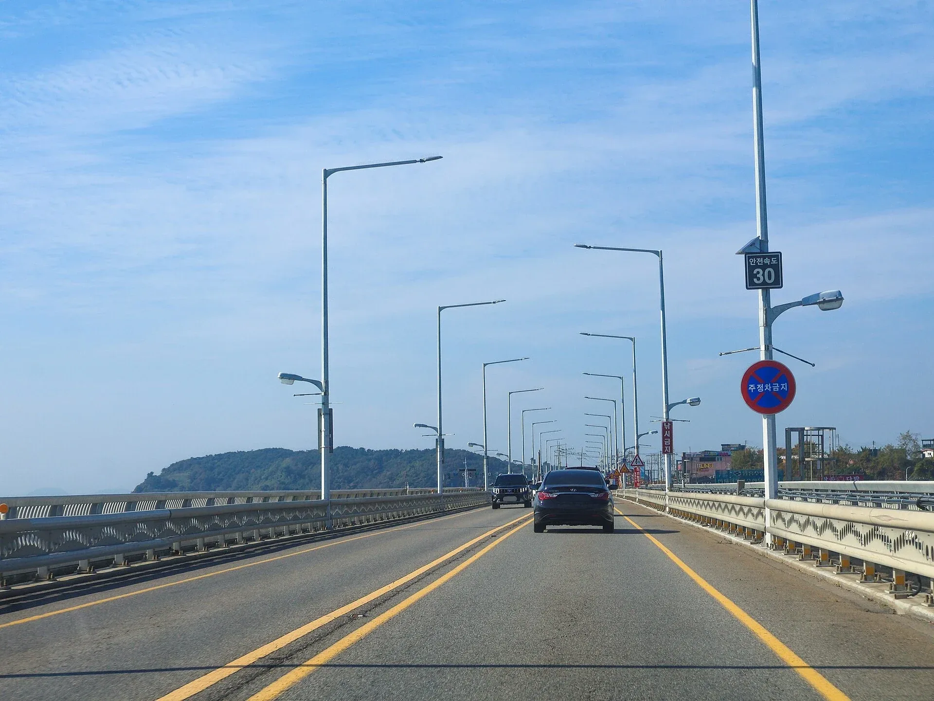
Photo credit & licence
LandAndTree · CC BY 4.0 · Photo sourceFull photograph retained. Select to enlarge.BEFORE YOU COMMIT
Can you reach it without a ferry?
Yes — it is road-connected.
Road bridges via Daebudo or Yeongheungdo.
You still need a precise first destination, parking plan and realistic return time. A bridge does not make a large island compact.
ARRIVING ALONE, STEP BY STEP
From “I’m going” to the correct island.
This is the sequence to follow when the route is unfamiliar. Complete each step before moving to the next.
Save the island in Korean
Use 선재도 in the map app so you do not select a namesake elsewhere in Korea.
Choose one arrival point
Pin your first beach, village or visitor centre rather than navigating only to the island name.
Check the final kilometres
Island buses may be infrequent and some coastal roads have limited parking or narrow sections.
Set a turnaround time
Weekend bridge traffic and sunset stops can make the return much slower than the outward drive.
A REALISTIC FIRST VISIT
Build one good day, not a checklist.
Enjoy the coastline from an established viewpoint and stop for a relaxed meal on the island.
Orient yourself at the pier, bus stop or first car park. Photograph the timetable or parking location.
Make the landscape in this guide your main experience. Add a local meal nearby, not another distant crossing.
Leave before traffic or darkness removes your margin.
MAPS & LIVE CHECKS
Open these before leaving your room.
Locate the island
Use the Korean name for the most reliable local results and to avoid similarly named places.
NAVER Map · English ↗KakaoMap · English ↗Google Maps ↗Google Maps →Check the road approach
Compare your route with current traffic, parking and local access notices.
NAVER Map · English ↗KakaoMap · English ↗Google Maps ↗Read the sea
Check the relevant coastal forecast. Wind and waves can change a boat trip even when rain looks unlikely.
KMA marine forecast →KHOA tide information →SLEEP & EAT
Search locally, then verify personally.
Small-island inventory changes quickly and English listings may be incomplete. Search in Korean, check recent reviews, and contact the property if arrival depends on a ferry or pickup.
Where to sleep
Choose a base near the part of the island you will actually explore; “on the island” can still mean a long drive.
NAVER Map · English ↗KakaoMap · English ↗Google Maps ↗What to eat
Look for a cluster near your route, then confirm opening hours the same day. On smaller islands, kitchens may close early or operate only when boats arrive.
NAVER Map · English ↗KakaoMap · English ↗Google Maps ↗WHEN SHOULD YOU GO?
Four seasons, four different trips.
Spring
Clear walking weather is possible, but strong wind can still alter boats and exposed-coast plans. Reserve transport first; add blossoms or barley fields only after the route is secure.
Summer
Heat, humidity and sudden rain make midday walking harder. Start early, carry water and keep typhoon-period bookings flexible. Swim only where local notices allow it.
Autumn
Often a comfortable season for coastal walks. Sunset becomes earlier quickly, so compare the last return sailing with your walking time before setting off.
Winter
Quieter roads and crisp views can be rewarding, but wind chill is severe on open headlands. Check closures and do not rely on seasonal businesses being open.
WHEN THE PLAN BREAKS
Have the answer before you need it.
Boat cancelled
Do not travel to a different port on assumption. Ask the operator whether the ticket is refunded, moved or reissued, then contact your accommodation.
Return missed
Call the operator first, then find a legal room near the arrival village. Never attempt an unlisted private crossing.
Tide or path closed
Turn back at the sign or barrier. Tide apps are planning aids; local closures and staff instructions control access.
No island transport
Reduce the route to a walkable area around the pier or first village. Do not start a long road walk without daylight, water and a return option.
FINAL CHECK
Six confirmations before departure.
- Correct island and Korean spelling: 선재도
- Exact terminal, pier, parking place or first bus stop
- Outward and return transport confirmed on the same itinerary
- Photo ID, boarding deadline and vehicle/baggage rules checked
- Island-side transport and accommodation contact saved offline
- Marine weather, local closure notices and emergency margin reviewed
TRUST THE CURRENT SOURCE
Official and live planning links
Routes, fares, opening arrangements and weather can change. These pages intentionally avoid promising a fixed timetable; verify the final trip with the operating company.