Read the related guide
Confirm opening days, admission, seasonal conditions and the most useful entrance.
QR MAP REFERENCE · Busan & Ulsan
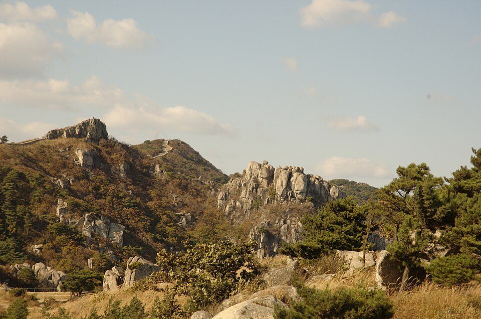
124금정산 Busan
800.8 m · Busan
BEFORE YOU GO
Choose a route that matches your fitness. Check closures and weather, carry water and suitable footwear, and plan a return before dark.
Confirm opening days, admission, seasonal conditions and the most useful entrance.
Use the Korean search name above in NAVER Map or KakaoMap for the last part of the journey.
Show the English and Korean place names to station staff, a taxi driver or the 1330 travel hotline.
PDF link: /photo-guide/hiking/124
Click Biondi to chat. Drag the top bar to move this window. AI answers may need checking.
Where would you like to go?