Compare Hallasan, Seoraksan, Deogyusan, Taebaeksan, Bukhansan, Sobaeksan and Jirisan. Plan around entrance restrictions, checkpoints, reservations and your return journey.
Official pages checked 10 October 2026 (Korea time). These are published seasonal rules, not a guarantee that a route will be open on your travel date. Times below are Korea Standard Time (UTC+9).
Select a route name for its itinerary, map, source and accommodation base. The table shows the named entry window only; intermediate restrictions appear in the route notes.
* Bukhansan: the official table body labels winter December–February, while its caption says November–March. We retain the table-body period and flag the discrepancy. Ask the park about November and March before setting out; do not assume summer hours.
Each map opens the named trail entrance, not the summit or a recorded hiking track. The two cards under each mountain are separate route choices, not numbered stops to visit in sequence. Return by the same route unless you have planned another permitted descent and transport.
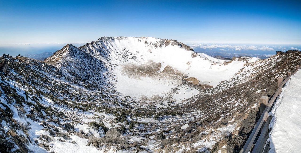
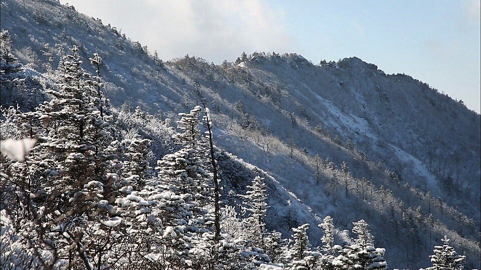
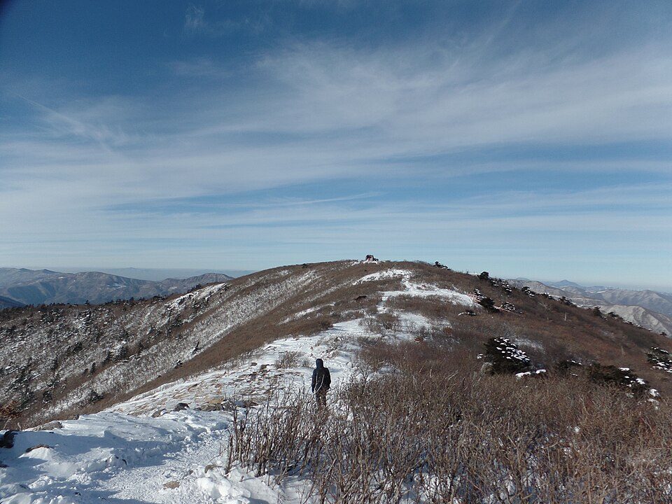
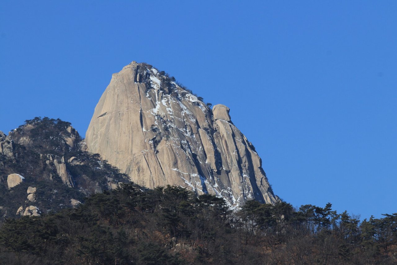
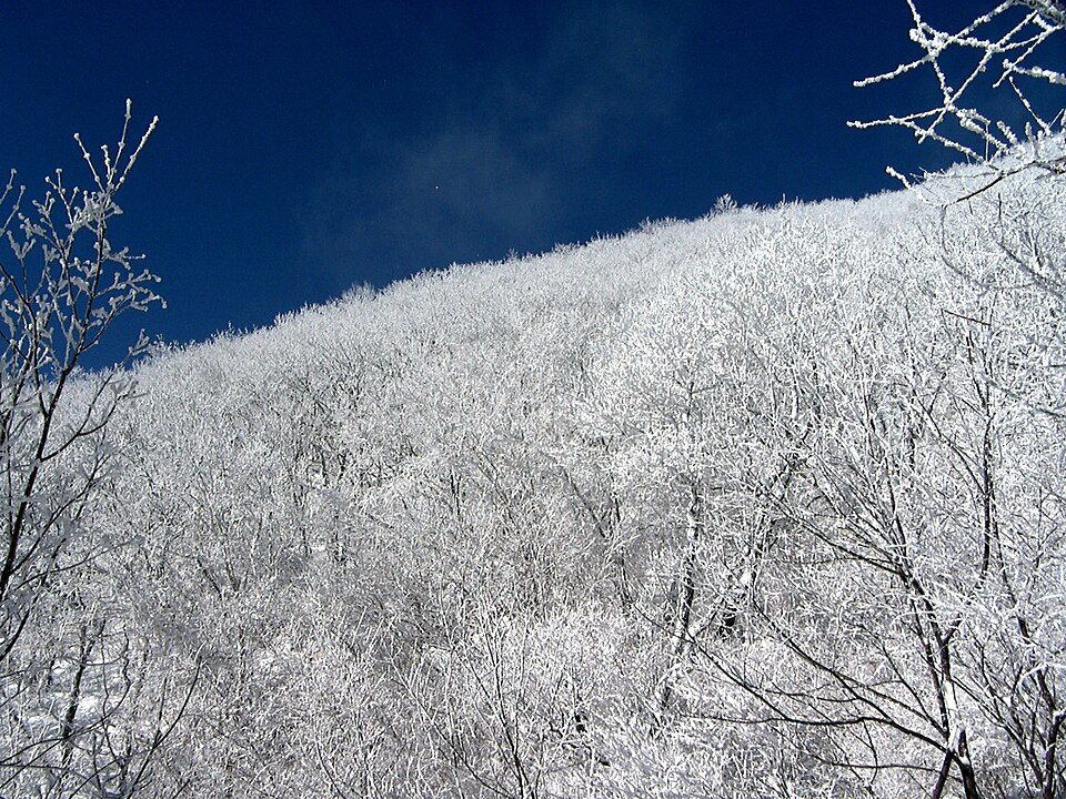
Historical winter photographs, not live snow reports. Landscape photographs illustrate each mountain and do not identify the exact route or entrance. Each original and licence is linked below its photograph.
Entrance and Jindallaebat checkpoint cutoff: 11:30. Leave the summit by 13:30. Return on the same trail: 19.2 km in total. Saraoreum is an additional detour, not included in that distance. Official summit-trail reservation required.
Gwaneumsa → Tamna Valley → Samgakbong → Yongjingak → Baengnokdam
관음사 → 탐라계곡 → 삼각봉 → 용진각 → 백록담
Entrance and Samgakbong checkpoint cutoff: 11:30. Leave the summit by 13:30. Same-trail return: 17.4 km. The shorter distance does not make this a quicker route; the official ascent reference is five hours. Summit-trail reservation required.
Same-trail return: 10 km; the official ordinary return reference is eight hours. A steep summit ascent for prepared hikers. The 11:00 entry cutoff is not a reasonable default starting time for a winter summit day.
The entry window applies to the entrance-to-junction section. Exposed ridge travel requires experience; this is not a short beginner snow walk. The official full course continues to Sogongwon (19.3 km / 12 hours); that is a different, point-to-point itinerary. Plan a permitted descent and pickup before starting.
6.0 km · 1 h 30 minSum of official segments · one way
Gucheondong → Inwoldam → Baengnyeonsa → return
구천동 → 인월담 → 백련사 → 원점회귀
Turn around at Baengnyeonsa: this entry window does not authorise a later continuation to Hyangjeokbong. The distance and time sum the official 1.5 km and 4.5 km approach segments; return distance is 12 km. Lower valley paths can also ice over.
Same-trail return: 17 km. The ascent beyond Baengnyeonsa is substantially steeper than the valley approach. This summit route has an earlier entrance cutoff than the temple-only route. Do not assume the gondola will provide your descent.
This is a point-to-point traverse, not a 7.5 km return walk. The finish is Danggol. Arrange a pickup or return transfer; do not leave a car at Yuilsa without a retrieval plan. The summit area is exposed to winter wind.
The one-way reference sums the official Danggol–Banjae (2.0 km / 1 hour) and Banjae–Cheonjedan (2.1 km / 1 hour) segments. Same-trail return: 8.2 km. The final climb is steeper than the valley approach.
The 3.8 km return distance starts at the support centre, not Bukhansan Ui metro station. The final granite ascent can be hazardous when icy: a short distance does not mean an easy winter walk. Check the official winter-period discrepancy below the table.
Return at Daenammun: 4.8 km total. This uses the first segment of the official Samobawi course, not its full ridge continuation. Temple and gate views offer a different experience from Baegundae, but ice and steps still require preparation.
Same-trail return: 13.6 km, with a six-hour ordinary official reference. The approach is more gradual, but the open summit ridge can be windy and icy. Allow for your descent rather than targeting the 13:00 entry deadline.
Same-trail return: 10.2 km. Shorter than Cheondong, with steeper stepped sections. A loop through Gungmangbong and Euljeon is a separate longer itinerary, not included here. Use the correct Eouigok / Saebat connection.
The 1.2 km / 30-minute reference is ONLY the summit loop from Nogodan Pass (500 m out, 700 m back), excluding the approach from Seongsamjae. Summit entry is 05:00–16:00, with operating hours until 17:00; reservation is required. The pass-to-ridge traverse has a separate 04:00–11:00 window. Confirm the mountain road and the signed approach; do not apply the loop duration to the full hike.
The Rotary-shelter-to-Cheonwangbong checkpoint window is also 04:00–13:00. Same-trail return: 10.8 km / eight hours as the ordinary official reference. A strenuous, steep ascent; a shelter stay requires a separate reservation. Do not assume an overnight booking extends every checkpoint deadline.
Hallasan’s Seongpanak and Gwaneumsa summit trails require the official hiking reservation. Nogodan’s summit section has its own reservation; a shelter booking does not replace it. Overnight national-park shelters are booked separately. Confirm the selected date, entrance, party details, identification requirements and cancellation terms in the official system. Do not treat a hotel booking or gondola ticket as a trail permit.
Book accommodation near the correct entrance, with early checkout or breakfast arrangements. Confirm late arrival, transport, foreign-card payment and weather-related cancellation terms before paying. Hotel search links compare a destination; they do not guarantee availability or a shuttle. For Osaek/Hangyeryeong, Jungsanri and mountain passes, arrange the final transfer explicitly rather than assuming a city hotel includes it.
Previous evening: check the official route restrictions and mountain weather. Confirm the road to the trailhead, the first outbound connection and the last return service. A first bus that arrives after your safe start time calls for an overnight base or a shorter route.
At the entrance: follow the posted notice and ranger instructions. Set a turnaround time that leaves daylight and a return margin. Turn back when progress, visibility, wind or traction makes the remaining plan unsuitable.
Pack winter footwear, traction appropriate to the route, poles, insulating layers, a windproof outer layer, spare gloves, a headlamp, food, water, a charged phone and an offline map. Steep icy rock and exposed ridges require suitable experience and equipment; an open trail is not proof that it suits your ability. Emergency in Korea: 119.
Keep a lower-altitude or indoor alternative: Jeju city for Hallasan; Sokcho or Yangyang for Seoraksan; Muju town for Deogyusan; Taebaek city for Taebaeksan; Seoul museums for Bukhansan; Danyang town for Sobaeksan; Gurye or Sancheong for Jirisan. Even valley walks can be icy or closed. Check the chosen alternative rather than assuming it is safe because it is lower.
Official pages checked 10 October 2026 (Korea time). These are published seasonal rules, not a guarantee that a route will be open on your travel date. Times below are Korea Standard Time (UTC+9).
Historical winter photographs, not live snow reports. Landscape photographs illustrate each mountain and do not identify the exact route or entrance. Each original and licence is linked below its photograph.