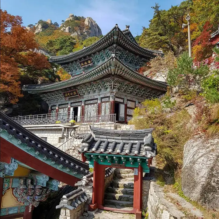
Choose a temple visit with a return descent, or a separate ridge traverse. The temple and surrounding rock scenery are the focus, rather than a promised summit or easy urban stroll.
Confirm distance and time including station access
From WonDobong Information Center follow the marked path to Mangwolsa and return by the same route. The KNPS describes a somewhat steep approach. The full traverse’s 5.5 km / 2 h 20 is not the temple-return figure.
Continue over Podae to Hoeryong
Official full route · 5.5 km / 2 h 20 reference
WonDobong → Mangwolsa → Podae ridge → Hoeryong junction → Hoeryong. Finish away from the starting point and plan onward transport. Add time for rest, uneven steps and weather.
Reach the correct entrance
Use Seoul Metro Line 1 to Mangwolsa Station, then navigate to WonDobong Information Center. Check the current exit and walking approach; Dobong Information Center is a different entrance.
Mangwolsa Station → WonDobong Information Center → marked valley trail → Mangwolsa → choose same-route descent or the separately planned Podae–Hoeryong traverse.
Check the Bukhansan/Dobong live closure notice and entry times. Keep to designated paths; do not enter the protected valley stream. Temple photography and worship notices take priority over a photo itinerary.
Compare meals near Mangwolsa Station for a temple-return visit; use Hoeryong only if that is your actual descent. A Seoul stay can suit a rail day trip, while Uijeongbu is another base. Verify the route back, room access and meals for your date.
Allow for personal fitness, rest, rain, wind, ice and shorter daylight. Carry suitable footwear, water and warm/windproof layers; follow ranger instructions. Photos do not certify today’s foliage, visibility or trail surface. Room views, business opening and last transport require date-specific checks.
Introduce your business to travellers visiting Korea. We welcome proposals across accommodation, transport, food, beauty, shopping, culture, experiences and other fields.
Tell us your business name, location, official website and proposed collaboration.